
Navigation with GPS
rider's freedom – thanks to GPS
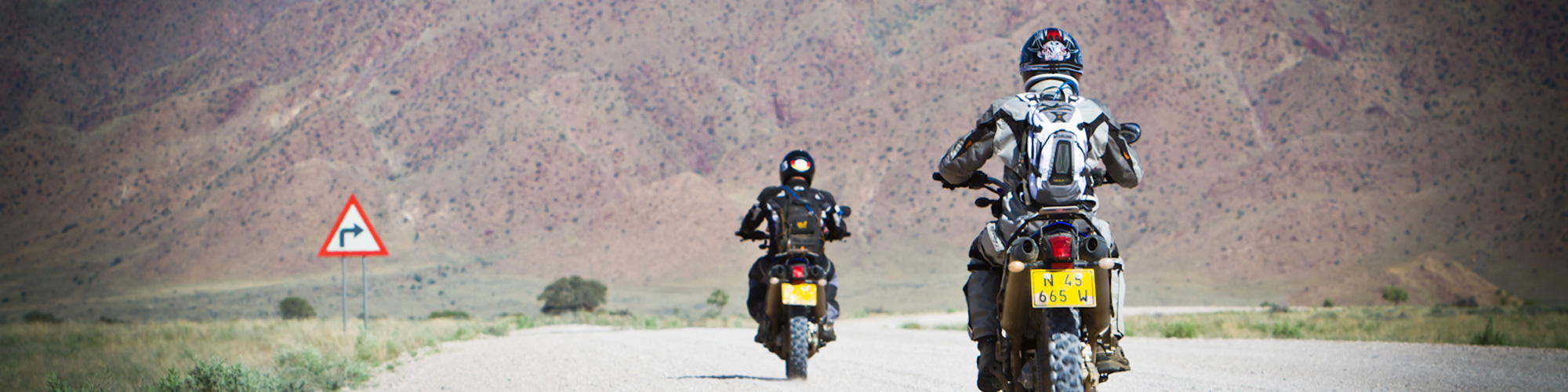
Right from the start of GravelTravel it was important to us to provide every driver a maximum freedom while at the same time eliminating the risk of getting lost as far as possible. In addition to the map material, each motorcycle was equipped with navigation system called roadbook. For about the first 15 years, we used road books that we had specially prepared for each tour, just as they were used on the big desert rallies such as the Dakar. This system was quite exciting for the participants, but also quite complex for us and had to be constantly maintained and updated, which was not always possible, especially with short-term route changes.
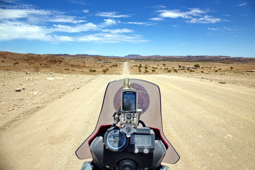
Since we now have perfectly routable GPS maps available in Southern Africa and the GPS devices from Garmin have also become absolutely reliable and easy to use for everyone, we had completely converted our navigation to this system. At first we used the Garmin 60 CSX or 78 for a long time, now our entire fleet is equipped with the Garmin Montana 700i, on which the respective tour route is precisely pre-programmed and can be called up for each individual day. The features of the new Garmin Montana are convincing: it is very large and has a large touch display that is easy to read, especially in sunlight, and it can be tracked so that every driver can be found quickly in an emergency.
In the transitional period we still used both, namely Roadbook AND GPS, but today we rely exclusively on electronic navigation devices. Even on the small paths of Kaokoland we have had the best experiences and there is almost no chance of getting lost ...